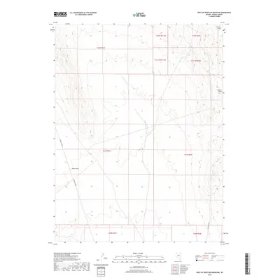
2018 Map of West of Whistler Mountain
USGS Topo · Published 2018About this map
Kobeh Valley dominates this high-desert landscape in central Nevada, situated just west of the prominent Whistler Range. This 2018 survey documents a region defined by complex public land survey system divisions, including portions of nine different townships such as t21n r51e and t22n r52e. The drainage pattern is led by the intermittent U'ans-in-dame Cr, which winds through the central valley floor. Remote access is provided by a sparse network of desert routes, most notably Roberts Creek Rd in the west and Saddler Brown Rd in the southeast. The map illustrates a transitional zone between the flat valley basin and the rising foothills of the nearby mountains, offering a clear view of the topographical contours that govern water flow and land use in this arid portion of Eureka County.
Find a feature on this map
14 named features on this map. Tap any name to fly to it.
Don’t see what you’re looking for? This feature index may not catch every label — zoom into the map to look around manually.
Map Details
Editions of this 2018 West of Whistler Mountain Map
This is the sole edition of this map. No revisions or reprints were ever made.
Other maps of this area

1926 · Roberts Mountains
USGS Topo · 1:250,000

1929 · Roberts Mountains
USGS Topo · 1:250,000

1949 · Garden Valley
USGS Topo · 1:62,500

1949 · Roberts Creek Mtn
USGS Topo · 1:62,500

1951 · Roberts Creek Mtn
USGS Topo · 1:62,500

1951 · Garden Valley
USGS Topo · 1:62,500

1955 · Millett
USGS Topo · 1:250,000

1956 · Bartine Ranch
USGS Topo · 1:62,500

1956 · Whistler Mtn
USGS Topo · 1:62,500

1959 · Millett
USGS Topo · 1:250,000