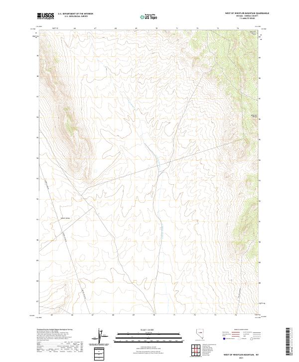
2021 Map of West of Whistler Mountain
USGS Topo · Published 2021About this map
Kobeh Valley dominates the southwestern portion of this landscape, a wide basin that contrasts with the rising elevations of the Whistler Range to the northeast. This part of Eureka County is characterized by a high-desert drainage system, most notably U'ans-in-dame Cr, which winds through the central valley floors. The map details the transition from the relatively flat valley bottom to the steep, complex contours of the mountains. Transportation in this remote area is defined by long, unpaved routes such as Roberts Creek Rd and Saddler Brown Rd, which provide access through the Great Basin terrain. The absence of concentrated settlements highlights the vast, open character of this Nevada interior, where land use is primarily defined by the Public Land Survey System grids that partition the range and valley.
Find a feature on this map
14 named features on this map. Tap any name to fly to it.
Don’t see what you’re looking for? This feature index may not catch every label — zoom into the map to look around manually.
Map Details
Editions of this 2021 West of Whistler Mountain Map
This is the sole edition of this map. No revisions or reprints were ever made.
Other maps of this area

1926 · Roberts Mountains
USGS Topo · 1:250,000

1929 · Roberts Mountains
USGS Topo · 1:250,000

1949 · Garden Valley
USGS Topo · 1:62,500

1949 · Roberts Creek Mtn
USGS Topo · 1:62,500

1951 · Roberts Creek Mtn
USGS Topo · 1:62,500

1951 · Garden Valley
USGS Topo · 1:62,500

1955 · Millett
USGS Topo · 1:250,000

1956 · Bartine Ranch
USGS Topo · 1:62,500

1956 · Whistler Mtn
USGS Topo · 1:62,500

1959 · Millett
USGS Topo · 1:250,000