
1943 Map of West Pass
USGS Topo · Published 1943About this map
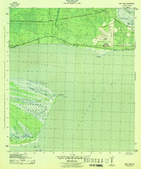
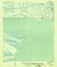
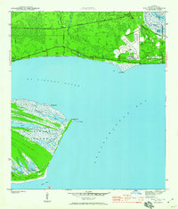
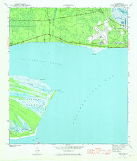
St Vincent Island dominates the southern half of this coastal survey, defined by its intricate network of waterways including Big Bayou, Buck Bayou, and the long sweep of Mallard Slough. To the north, the mainland transition begins at Green Point, where the landscape shifts from the open waters of Apalachicola Bay and St Vincent Sound to the marshy lowlands surrounding the Apalachicola River.
Find a feature on this map
25 named features on this map. Tap any name to fly to it.
Don’t see what you’re looking for? This feature index may not catch every label — zoom into the map to look around manually.
Map Details
Editions of this 1943 West Pass Map
5 editions found
Other maps of this area

1943 · Apalachicola
USGS Topo · 1:31,680

1943 · Indian Pass
USGS Topo · 1:24,000

1943 · Jackson River
USGS Topo · 1:24,000

1944 · Apalachicola
USGS Topo · 1:24,000

1945 · Cape St. George
USGS Topo · 1:31,680

1945 · Lake Wimico
USGS Topo · 1:31,680

1945 · Beverly
USGS Topo · 1:31,680

1945 · Jackson River
USGS Topo · 1:31,680

1945 · Indian Pass
USGS Topo · 1:31,680

1949 · Apalachicola
USGS Topo · 1:250,000