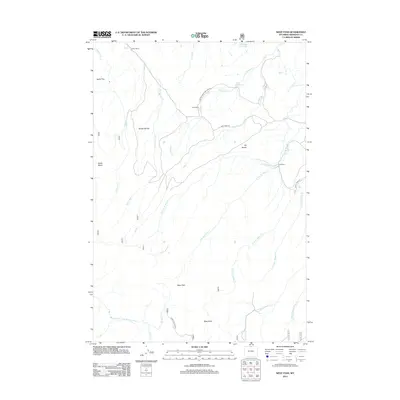
2012 Map of West Pass
USGS Topo · Published 2012About this map
Fuller Ranch and the Kern Ranch anchor this 2012 survey of the high Wyoming landscape, where the headwaters of the Dry Fork Little Bighorn River wind through the Sheridan County hills. The map illustrates a high-altitude drainage network where creeks like Elkhorn Cr and Red Canyon Cr carve through distinct geological features such as Broderick Flat and Taylor Flat. This is ranching country, defined by scattered property holdings and a primitive road system including the Dayton-Slack-Montana Rd and Pass Creek Rd. The terrain climbs toward the prominent Riley Point and the namesake West Pass, while small water bodies like Dana Reservoir and Dinwiddie Lake provide vital water resources in an environment characterized by broad plateaus like T R Bench.
Find a feature on this map
32 named features on this map. Tap any name to fly to it.
Don’t see what you’re looking for? This feature index may not catch every label — zoom into the map to look around manually.
Map Details
Editions of this 2012 West Pass Map
This is the sole edition of this map. No revisions or reprints were ever made.
Other maps of this area

1894 · Rosebud
USGS Topo · 1:125,000

1894 · St. Xavier
USGS Topo · 1:125,000

1895 · Dayton
USGS Topo · 1:125,000

1898 · Bald Mountain
USGS Topo · 1:125,000

1901 · Rosebud
USGS Topo · 1:125,000

1901 · Dayton
USGS Topo · 1:125,000

1901 · St. Xavier
USGS Topo · 1:125,000

1901 · Bald Mountain
USGS Topo · 1:125,000

1954 · Hardin
USGS Topo · 1:250,000

1955 · Sheridan
USGS Topo · 1:250,000