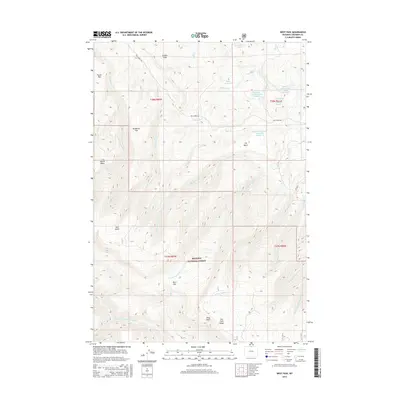
2015 Map of West Pass
USGS Topo · Published 2015About this map
Bighorn National Forest dominates this high-altitude landscape in Sheridan County, where a complex network of drainages defines the mountain terrain. Significant water management features, including Dana Reservoir and several numbered reservoirs such as Kiewit-Herbs Creek Reservoir Number 2, indicate the importance of water storage in this arid environment. The topography is marked by named flats and basins, from the broad Taylor Flat in the northwest to the low-lying Kettle Basin and the distinct Red Gulch. Waterways like the Dry Fork Little Bighorn River and Elkhorn Cr carve through the land, while prominent landmarks like Riley Point and the namesake West Pass provide navigation points for those traversing the Bighorn National Forest. Local access is limited to unpaved routes such as Pass Creek Rd, reflecting the remote character of this part of northern Wyoming.
Find a feature on this map
37 named features on this map. Tap any name to fly to it.
Don’t see what you’re looking for? This feature index may not catch every label — zoom into the map to look around manually.
Map Details
Editions of this 2015 West Pass Map
This is the sole edition of this map. No revisions or reprints were ever made.
Other maps of this area

1894 · Rosebud
USGS Topo · 1:125,000

1894 · St. Xavier
USGS Topo · 1:125,000

1895 · Dayton
USGS Topo · 1:125,000

1898 · Bald Mountain
USGS Topo · 1:125,000

1901 · Rosebud
USGS Topo · 1:125,000

1901 · Dayton
USGS Topo · 1:125,000

1901 · St. Xavier
USGS Topo · 1:125,000

1901 · Bald Mountain
USGS Topo · 1:125,000

1954 · Hardin
USGS Topo · 1:250,000

1955 · Sheridan
USGS Topo · 1:250,000