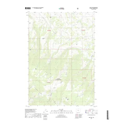
2017 Map of West Pass
USGS Topo · Published 2017About this map
Bighorn National Forest dominates the southern half of this landscape, where the Dry Fork Little Bighorn River carves through the terrain below Dry Fork Ridge. The map details the complex drainage systems of the eastern Big Horn Mountains, specifically around the eponymous West Pass, which serves as a central hub for various tributaries including W-Pass Cr and Miller Cr. The northern reaches transition into a series of expansive high-altitude benches and flats, such as Taylor Flat, Broderick Flat, and the T R Bench.
Find a feature on this map
43 named features on this map. Tap any name to fly to it.
Don’t see what you’re looking for? This feature index may not catch every label — zoom into the map to look around manually.
Map Details
Editions of this 2017 West Pass Map
This is the sole edition of this map. No revisions or reprints were ever made.
Other maps of this area

1894 · Rosebud
USGS Topo · 1:125,000

1894 · St. Xavier
USGS Topo · 1:125,000

1895 · Dayton
USGS Topo · 1:125,000

1898 · Bald Mountain
USGS Topo · 1:125,000

1901 · Rosebud
USGS Topo · 1:125,000

1901 · Dayton
USGS Topo · 1:125,000

1901 · St. Xavier
USGS Topo · 1:125,000

1901 · Bald Mountain
USGS Topo · 1:125,000

1954 · Hardin
USGS Topo · 1:250,000

1955 · Sheridan
USGS Topo · 1:250,000