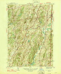
1946 Map of West Pawlet
USGS Topo · Published 1946About this map
West Pawlet sits at the border of New York and Vermont, serving as a focal point where the Delaware and Hudson RR follows the Indian River. This mid-1940s landscape is defined by its small rural communities and numerous family-named burial grounds like Tanner Cem and Reynolds Cem. The terrain is punctuated by significant elevations such as Mt Tom and Grimes Hill, which separate the drainage of the Indian River from Black Creek.
Find a feature on this map
41 named features on this map. Tap any name to fly to it.
Don’t see what you’re looking for? This feature index may not catch every label — zoom into the map to look around manually.
Map Details
Editions of this 1946 West Pawlet Map
2 editions found
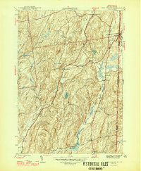
Other maps of this area

1893 · Fort Ann
USGS Topo · 1:62,500

1894 · Pawlet
USGS Topo · 1:62,500

1894 · Equinox
USGS Topo · 1:62,500

1895 · Cambridge
USGS Topo · 1:62,500

1895 · Fort Ann
USGS Topo · 1:62,500

1896 · Equinox
USGS Topo · 1:62,500

1897 · Pawlet
USGS Topo · 1:62,500

1898 · Cambridge
USGS Topo · 1:62,500

1898 · Fort Ann
USGS Topo · 1:62,500

1900 · Equinox
USGS Topo · 1:62,500