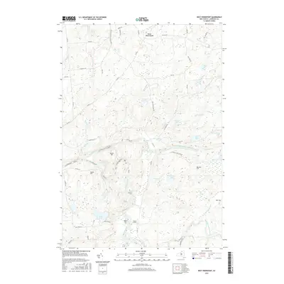
2016 Map of West Pierrepont
USGS Topo · Published 2016About this map
West Pierrepont sits at the northern edge of this topographical study, where the landscape transitions into the protected wilderness of the Adirondack Park Preserve. The hydrology of the region is defined by the branching paths of the Grass River, including its North Branch and Middle Branch. Dramatic elevation changes along these waterways are marked by Lampsons Falls and Pelkys Falls, while lower-lying areas are characterized by the Big Swamp and expansive water bodies like Boyd Pond.
Find a feature on this map
65 named features on this map. Tap any name to fly to it.
Don’t see what you’re looking for? This feature index may not catch every label — zoom into the map to look around manually.
Map Details
Editions of this 2016 West Pierrepont Map
This is the sole edition of this map. No revisions or reprints were ever made.
Other maps of this area

1908 · Potsdam
USGS Topo · 1:62,500

1910 · Canton
USGS Topo · 1:62,500

1911 · Canton
USGS Topo · 1:62,500

1915 · Russell
USGS Topo · 1:62,500

1918 · Russell
USGS Topo · 1:62,500

1921 · Stark
USGS Topo · 1:62,500

1923 · Stark
USGS Topo · 1:62,500

1940 · Stark
USGS Topo · 1:62,500
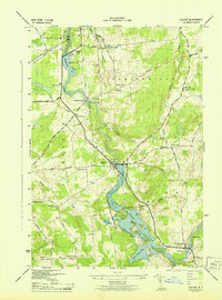
1943 · Colton
USGS Topo · 1:31,680
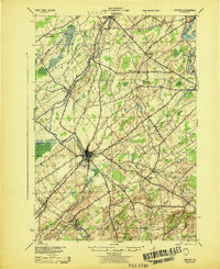
1944 · Canton
USGS Topo · 1:62,500