
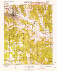
1938 Map of West Plains
USGS Topo · Published 1954About this map
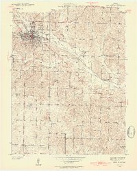
West Plains serves as the focal point of this Ozark plateau survey, appearing as a developed rail hub in the late 1930s. The St Louis San Francisco railroad cuts through the landscape, following the path of Howell Creek as it winds through the prominent Howell Valley. This era shows a dense network of rural infrastructure, where nearly every section of land is served by a local schoolhouse, including Galloway Sch, Sylvan Sch, and Orchard Grove Sch.
Find a feature on this map
43 named features on this map. Tap any name to fly to it.
Don’t see what you’re looking for? This feature index may not catch every label — zoom into the map to look around manually.
Map Details
Editions of this 1938 West Plains Map
3 editions found
Other maps of this area

1940 · West Plains
USGS Topo · 1:24,000

1943 · Thayer
USGS Topo · 1:62,500

1944 · West Plains
USGS Topo · 1:62,500

1945 · Willow Springs
USGS Topo · 1:62,500

1945 · Montier
USGS Topo · 1:62,500

1946 · Thayer
USGS Topo · 1:62,500

1946 · West Plains
USGS Topo · 1:62,500

1948 · Montier
USGS Topo · 1:62,500

1948 · Willow Springs
USGS Topo · 1:62,500

1957 · Poplar Bluff
USGS Topo · 1:250,000