
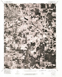
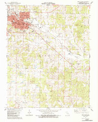
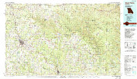
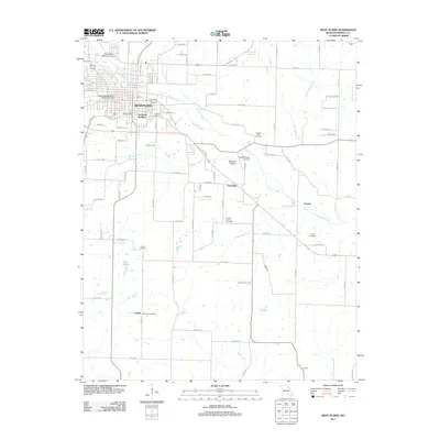
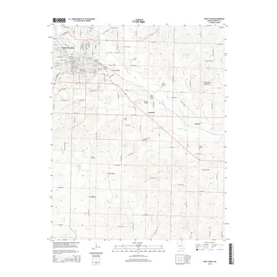
1984 Map of West Plains
USGS Topo · Published 1984About this map
The Eleven Point River and Current River define the eastern reach of this Ozark landscape, which includes the sprawling Mark Twain National Forest and the Ozark National Scenic Riverways. Central to the region is West Plains, a major hub for the southern Missouri hills connected to outlying timber and rail towns like Birch Tree and Mountain View. The Burlington Northern railroad corridor dictates the placement of settlements such as Willow Springs, Olden, and Brandsville as it cuts southeast toward the Arkansas border at Thayer. This map documents a transition in land use, showing the protected wilderness areas of Peck Ranch State Wildlife Area alongside the established agricultural and timber networks of Howell and Oregon counties. Notable hydrology like Greer Spring and Jacks Fork highlights the region's famous spring-fed river systems.
Find a feature on this map
70 named features on this map. Tap any name to fly to it.
Don’t see what you’re looking for? This feature index may not catch every label — zoom into the map to look around manually.
Map Details
Editions of this 1984 West Plains Map
2 editions found
Historical Maps of West Plains Through Time
11 maps found
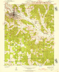
1938 West Plains
Howell County, MO
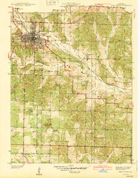
1940 West Plains
Howell County, MO
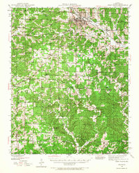
1944 West Plains
Howell County, MO
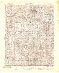
1946 West Plains
Howell County, MO
1976 West Plains
Howell County, MO
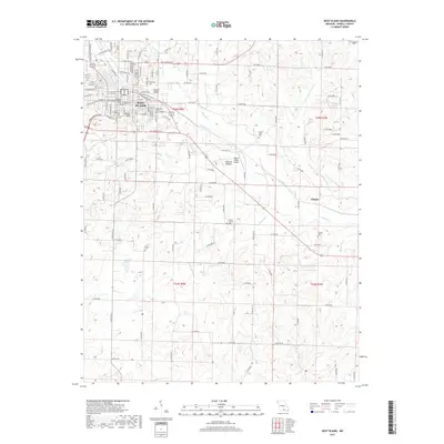
1983 West Plains
Howell County, MO
1984 West Plains
Howell County, MO
2011 West Plains
Howell County, MO
2015 West Plains
Howell County, MO
2017 West Plains
Howell County, MO
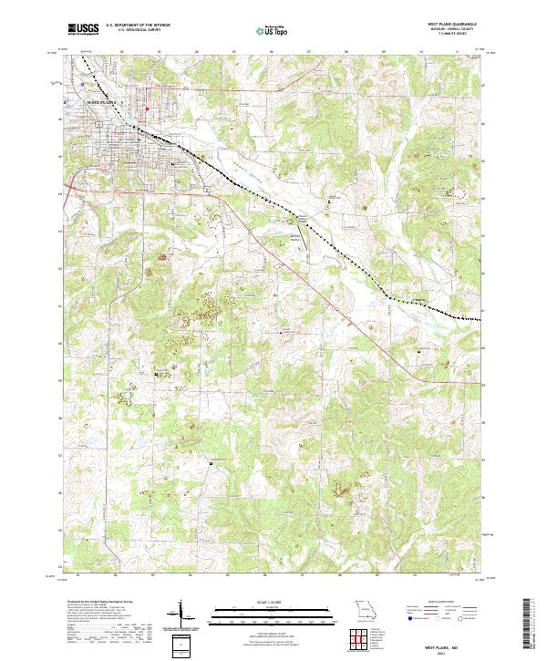
2021 West Plains
Howell County, MO