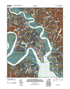
2011 Map of West Point
USGS Topo · Published 2011About this map
West Point sits at the confluence where the Mattaponi River and Pamunkey River join to form the York River, serving as a central hub for this coastal Virginia landscape. The grid of the town is flanked by industrial and residential areas like Port Richmond and Brookeshire, while the Lord Delaware Bridge and Eltham Bridge provide vital southern crossings over the tidal waters. To the north and west, the terrain transitions into a mosaic of large estates and agricultural landings, including Chelsea Farm and Romancoke, alongside numerous marshy tributaries such as Ryefield Creek and Heartquake Creek. This 2011 survey documents the persistent importance of the river systems, with specialized landmarks like the Bells Rock Lighthouse and multiple landings such as Dixon Landing and Waterfence Landing indicating a deep-rooted maritime and riverine economy. Genealogists will find the locations of Sunny Slope Cemetery and Saint Theresas Cemetery particularly useful for tracing local family history.
Find a feature on this map
79 named features on this map. Tap any name to fly to it.
Don’t see what you’re looking for? This feature index may not catch every label — zoom into the map to look around manually.
Map Details
Editions of this 2011 West Point Map
This is the sole edition of this map. No revisions or reprints were ever made.
Other maps of this area

1906 · Williamsburg
USGS Topo · 1:62,500

1917 · Urbanna
USGS Topo · 1:62,500

1917 · Toano
USGS Topo · 1:62,500

1918 · Toano
USGS Topo · 1:62,500

1919 · New Kent
USGS Topo · 1:62,500

1943 · Richmond
USGS Topo · 1:250,000
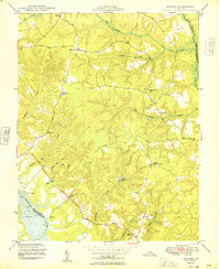
1949 · Truhart
USGS Topo · 1:24,000

1949 · Shacklefords
USGS Topo · 1:24,000
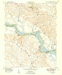
1949 · King And Queen
USGS Topo · 1:24,000
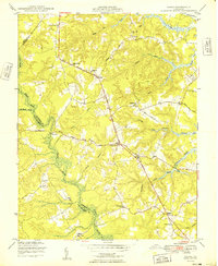
1949 · Samos
USGS Topo · 1:24,000