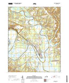
2019 Map of West Point
USGS Topo · Published 2019About this map
The Mattaponi River and Pamunkey River converge at the point of a narrow peninsula to form the headwaters of the York River. This tidal confluence defines the town of West Point, a significant river port and rail terminus for the Virginia peninsula. The landscape is characterized by expansive marshlands including Lee Marsh and Eltham Marsh, which surround the historic settlements of Port Richmond and Romancoke.
Find a feature on this map
112 named features on this map. Tap any name to fly to it.
Don’t see what you’re looking for? This feature index may not catch every label — zoom into the map to look around manually.
Map Details
Editions of this 2019 West Point Map
This is the sole edition of this map. No revisions or reprints were ever made.
Other maps of this area
1906 · Williamsburg
USGS Topo · 1:62,500
1917 · Urbanna
USGS Topo · 1:62,500
1917 · Toano
USGS Topo · 1:62,500
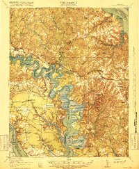
1918 · Toano
USGS Topo · 1:62,500
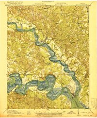
1919 · New Kent
USGS Topo · 1:62,500

1943 · Richmond
USGS Topo · 1:250,000
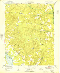
1949 · Truhart
USGS Topo · 1:24,000
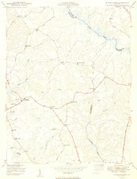
1949 · Shacklefords
USGS Topo · 1:24,000
1949 · King And Queen
USGS Topo · 1:24,000
1949 · Samos
USGS Topo · 1:24,000