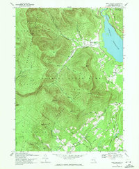
1969 Map of West Shokan
USGS Topo · Published 1971About this map
The Ashokan Reservoir dominates the eastern edge of this Catskill landscape, where the waters meet the steep slopes of High Point and South Mtn. In the late 1960s, the area reflects a transition between the wild interior of the Catskill State Park and the settled valleys of the Bush Kill and Mettacahonts Creek. Small communities like West Shokan and Brodhead are shown near the reservoir, while more secluded settlements such as Samsonville and Palentown sit deeper in the southern hollows. The presence of the Penn Central railroad line along the reservoir's northern reach indicates the remaining infrastructure of an era when rail was vital to these mountain hamlets. Genealogists may find interest in the isolated Palentown Cem or the network of local routes like Sahler Mill Rd and Cherry Town Road that link family homes throughout the townships of Olive, Denning, and Rochester.
Find a feature on this map
64 named features on this map. Tap any name to fly to it.
Don’t see what you’re looking for? This feature index may not catch every label — zoom into the map to look around manually.
Map Details
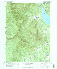
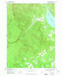
Editions of this 1969 West Shokan Map
3 editions found
Other maps of this area

1892 · Kaaterskill
USGS Topo · 1:62,500

1893 · Kaaterskill
USGS Topo · 1:62,500

1894 · Kaaterskill
USGS Topo · 1:62,500

1899 · Kaaterskill
USGS Topo · 1:62,500

1900 · Phoenicia
USGS Topo · 1:62,500

1901 · Rosendale
USGS Topo · 1:62,500

1903 · Rosendale
USGS Topo · 1:62,500

1903 · Phoenicia
USGS Topo · 1:62,500

1903 · Kaaterskill
USGS Topo · 1:62,500

1903 · Slide Mountain
USGS Topo · 1:62,500