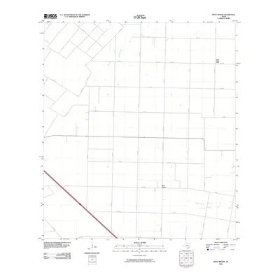
2010 Map of West Sinton
USGS Topo · Published 2010About this map
West Sinton and West Saint Paul define the residential character of this coastal prairie landscape in San Patricio County. The terrain is structured by a precise grid of rural roads, including FM 796 and FM 630, which intersect the flat agricultural lands typical of this region. Two primary watercourses, Chiltipin Creek and Aquilla Creek, provide the only natural deviations in a landscape otherwise dominated by geometric field patterns and livestock operations. This 2010 survey shows the infrastructure supporting a modern ranching and farming economy, where scattered homesteads are connected by long stretches of county roads like Co RD 18 and Co RD 28. The map is particularly useful for researchers tracing property boundaries or the evolution of small South Texas rural communities.
Find a feature on this map
23 named features on this map. Tap any name to fly to it.
Don’t see what you’re looking for? This feature index may not catch every label — zoom into the map to look around manually.
Map Details
Editions of this 2010 West Sinton Map
This is the sole edition of this map. No revisions or reprints were ever made.
Other maps of this area

1925 · Robstown
USGS Topo · 1:62,500

1927 · Mathis
USGS Topo · 1:62,500

1950 · Corpus Christi
USGS Topo · 1:250,000

1953 · Beeville
USGS Topo · 1:250,000

1954 · Orange Grove
USGS Topo · 1:62,500

1954 · Robstown
USGS Topo · 1:62,500

1954 · Mathis
USGS Topo · 1:62,500

1954 · Sinton
USGS Topo · 1:62,500

1956 · Corpus Christi
USGS Topo · 1:250,000

1956 · Beeville
USGS Topo · 1:250,000