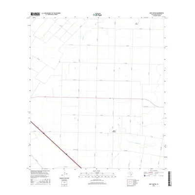
2016 Map of West Sinton
USGS Topo · Published 2016About this map
West Sinton sits within a landscape defined by an extensive grid of agricultural service roads and coastal plains drainage in San Patricio County. This survey reflects the modern rural infrastructure of the Texas Coastal Bend, where long-standing farm-to-market roads like FM 796 and FM 630 facilitate the movement of goods across the prairie. The natural hydrology is marked by the winding paths of Aquilla Cr and Chiltipin Cr, which provide relief from the rigid geometry of the surrounding field boundaries. Landowners and local historians can trace the transition from open range to organized homesteads through the dense network of county roads, including Co RD 22 near Dale Hollow, showing how the inland territory remains closely tied to regional transit corridors like State Hwy 188.
Find a feature on this map
28 named features on this map. Tap any name to fly to it.
Don’t see what you’re looking for? This feature index may not catch every label — zoom into the map to look around manually.
Map Details
Editions of this 2016 West Sinton Map
This is the sole edition of this map. No revisions or reprints were ever made.
Other maps of this area

1925 · Robstown
USGS Topo · 1:62,500

1927 · Mathis
USGS Topo · 1:62,500

1950 · Corpus Christi
USGS Topo · 1:250,000

1953 · Beeville
USGS Topo · 1:250,000

1954 · Orange Grove
USGS Topo · 1:62,500

1954 · Robstown
USGS Topo · 1:62,500

1954 · Mathis
USGS Topo · 1:62,500

1954 · Sinton
USGS Topo · 1:62,500

1956 · Corpus Christi
USGS Topo · 1:250,000

1956 · Beeville
USGS Topo · 1:250,000