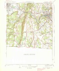
1938 Map of West Springfield
USGS Topo · Published 1938About this map
Proven Mountain bisects the landscape of this 1930s survey, creating a physical divide between the industrial and agricultural corridors of the Westfield River valley. The map documents a significant concentration of public and institutional land use, including the Westfield State Sanatorium and the Hampden County Training Sch, alongside established neighborhoods like North Agawam and Feeding Hills. The infrastructure of the era is remarkably detailed, showing the Boston and Albany RR and New York New Haven and Hartford RR lines feeding into the manufacturing and residential hubs. Local life is anchored by family-named landmarks and rural points of interest such as Hosmer Corner, Ashley Sch, and the Paucatuck Cem, offering a window into the pre-war development of Hampden County as it transitioned from a collection of mill villages and farms into a more interconnected suburban network.
Find a feature on this map
69 named features on this map. Tap any name to fly to it.
Don’t see what you’re looking for? This feature index may not catch every label — zoom into the map to look around manually.
Map Details
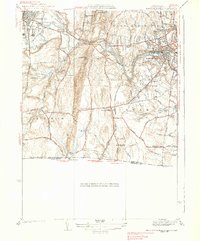
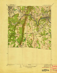
Editions of this 1938 West Springfield Map
3 editions found
Other maps of this area

1886 · Springfield
USGS Topo · 1:62,500

1887 · Granville
USGS Topo · 1:62,500

1889 · Springfield
USGS Topo · 1:62,500

1889 · Granville
USGS Topo · 1:62,500

1892 · Hartford
USGS Topo · 1:62,500

1892 · Granby
USGS Topo · 1:62,500

1893 · Springfield
USGS Topo · 1:62,500

1893 · Granville
USGS Topo · 1:62,500

1895 · Springfield
USGS Topo · 1:62,500

1895 · Granville
USGS Topo · 1:62,500