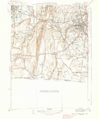
1938 Map of West Springfield
USGS Topo · Published 1938About this map
Westfield and West Springfield serve as the industrial and transport anchors of this 1930s landscape, where the Westfield River carves a deep valley between Proven Mountain and the surrounding heights. The map records a complex infrastructure of early 20th-century public institutions, including the Westfield State Sanatorium and the Hampden County Training Sch. Transportation networks are well-defined, showing the Boston and Albany RR following the river corridor while an extensive Aqueduct and Transmission Line system cut across the terrain.
Find a feature on this map
83 named features on this map. Tap any name to fly to it.
Don’t see what you’re looking for? This feature index may not catch every label — zoom into the map to look around manually.
Map Details
Editions of this 1938 West Springfield Map
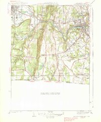
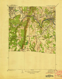
3 editions found
Other maps of this area

1886 · Springfield
USGS Topo · 1:62,500

1887 · Granville
USGS Topo · 1:62,500

1889 · Springfield
USGS Topo · 1:62,500

1889 · Granville
USGS Topo · 1:62,500

1892 · Hartford
USGS Topo · 1:62,500

1892 · Granby
USGS Topo · 1:62,500

1893 · Springfield
USGS Topo · 1:62,500

1893 · Granville
USGS Topo · 1:62,500

1895 · Springfield
USGS Topo · 1:62,500

1895 · Granville
USGS Topo · 1:62,500