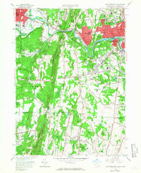
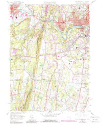
1958 Map of West Springfield
USGS Topo · Published 1966About this map
The Westfield River carves a winding path through this mid-century landscape, separating the industrial and residential centers of Westfield and West Springfield. The prominent ridge of Provin Mountain anchors the western portion of the map, serving as a natural boundary near the community of Feeding Hills. This era captures a region in transition, where established neighborhoods like Mittineague and North Agawam sit adjacent to significant green spaces like Robinson State Park.
Find a feature on this map
90 named features on this map. Tap any name to fly to it.
Don’t see what you’re looking for? This feature index may not catch every label — zoom into the map to look around manually.
Map Details
Editions of this 1958 West Springfield Map
5 editions found
Other maps of this area

1886 · Springfield
USGS Topo · 1:62,500

1887 · Granville
USGS Topo · 1:62,500

1889 · Springfield
USGS Topo · 1:62,500

1889 · Granville
USGS Topo · 1:62,500

1892 · Hartford
USGS Topo · 1:62,500

1892 · Granby
USGS Topo · 1:62,500

1893 · Springfield
USGS Topo · 1:62,500

1893 · Granville
USGS Topo · 1:62,500

1895 · Springfield
USGS Topo · 1:62,500

1895 · Granville
USGS Topo · 1:62,500