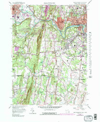
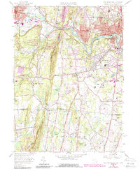
1958 Map of West Springfield
USGS Topo · Published 1979About this map
Westfield and West Springfield dominate this late 1950s landscape, positioned where the Westfield River and Little River converge. The industrial and institutional character of the era is evident in features like the Westfield State Sanatorium and the County Training Sch, while the transport network is defined by the Conrail line and the Bowles Agawam Airport. This survey provides a look at the region before significant highway expansion, showing many established local nodes like Feeding Hills, Mittineague, and North Agawam.
Find a feature on this map
70 named features on this map. Tap any name to fly to it.
Don’t see what you’re looking for? This feature index may not catch every label — zoom into the map to look around manually.
Map Details
Editions of this 1958 West Springfield Map
5 editions found
Other maps of this area

1886 · Springfield
USGS Topo · 1:62,500

1887 · Granville
USGS Topo · 1:62,500

1889 · Springfield
USGS Topo · 1:62,500

1889 · Granville
USGS Topo · 1:62,500

1892 · Hartford
USGS Topo · 1:62,500

1892 · Granby
USGS Topo · 1:62,500

1893 · Springfield
USGS Topo · 1:62,500

1893 · Granville
USGS Topo · 1:62,500

1895 · Springfield
USGS Topo · 1:62,500

1895 · Granville
USGS Topo · 1:62,500