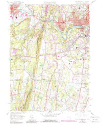
1958 Map of West Springfield
USGS Topo · Published 1988About this map
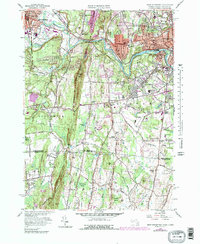
Provin Mountain forms a prominent ridgeline divider between Westfield and the riverside communities of West Springfield and Agawam. The landscape is defined by the winding course of the Westfield River, which supports a mix of industrial and residential development in neighborhoods like Mittineague and North Agawam. This 1958 survey, with later revisions, shows a dense network of civic and religious institutions, including the Mother of Sorrows Monastery and the Westfield State Sanatorium.
Find a feature on this map
102 named features on this map. Tap any name to fly to it.
Don’t see what you’re looking for? This feature index may not catch every label — zoom into the map to look around manually.
Map Details
Editions of this 1958 West Springfield Map
5 editions found
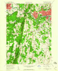
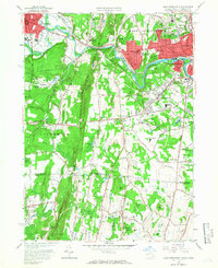
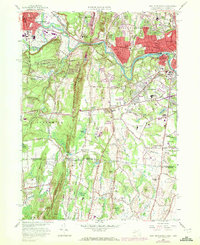
Other maps of this area

1886 · Springfield
USGS Topo · 1:62,500

1887 · Granville
USGS Topo · 1:62,500

1889 · Springfield
USGS Topo · 1:62,500

1889 · Granville
USGS Topo · 1:62,500

1892 · Hartford
USGS Topo · 1:62,500

1892 · Granby
USGS Topo · 1:62,500

1893 · Springfield
USGS Topo · 1:62,500

1893 · Granville
USGS Topo · 1:62,500

1895 · Springfield
USGS Topo · 1:62,500

1895 · Granville
USGS Topo · 1:62,500