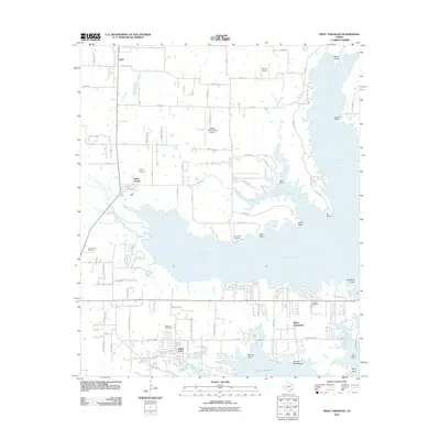
2011 Map of West Tawakoni
USGS Topo · Published 2011About this map
Lake Tawakoni dominates the landscape of this East Texas survey, its shoreline deeply articulated by numerous inlets and named points. The communities of West Tawakoni and Hawk Cove anchor the southern peninsula, where dense residential road networks meet the water at Rabbit Cove and Screech Owl Reach. To the north, the terrain transitions into agricultural land and smaller settlements like Cash and the Boles Home campus.
Find a feature on this map
77 named features on this map. Tap any name to fly to it.
Don’t see what you’re looking for? This feature index may not catch every label — zoom into the map to look around manually.
Map Details
Editions of this 2011 West Tawakoni Map
This is the sole edition of this map. No revisions or reprints were ever made.
Other maps of this area

1953 · Texarkana
USGS Topo · 1:250,000

1954 · Dallas
USGS Topo · 1:250,000

1954 · Sherman
USGS Topo · 1:250,000

1956 · Texarkana
USGS Topo · 1:250,000

1956 · Tyler
USGS Topo · 1:250,000

1956 · Quinlan
USGS Topo · 1:62,500

1956 · Emory
USGS Topo · 1:62,500

1958 · Dallas
USGS Topo · 1:250,000

1958 · Sherman
USGS Topo · 1:250,000

1962 · Greenville SW
USGS Topo · 1:24,000