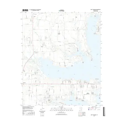
2016 Map of West Tawakoni
USGS Topo · Published 2016About this map
Lake Tawakoni dominates this Texas landscape, where intricate reaches and bays define the shoreline. The settlements of West Tawakoni and Hawk Cove sit on the lake's western edge, separated by Moon Head Reach. Further inland, the map captures a cluster of regional aviation sites including Weese International Airport, Rockin M Airport, and Skinner Airport, indicating the area's role in local transportation. The terrain is marked by a network of county roads that connect established communities like Quinlan and Cash to the water's edge.
Find a feature on this map
168 named features on this map. Tap any name to fly to it.
Don’t see what you’re looking for? This feature index may not catch every label — zoom into the map to look around manually.
Map Details
Editions of this 2016 West Tawakoni Map
This is the sole edition of this map. No revisions or reprints were ever made.
Other maps of this area

1953 · Texarkana
USGS Topo · 1:250,000

1954 · Dallas
USGS Topo · 1:250,000

1954 · Sherman
USGS Topo · 1:250,000

1956 · Texarkana
USGS Topo · 1:250,000

1956 · Tyler
USGS Topo · 1:250,000

1956 · Quinlan
USGS Topo · 1:62,500

1956 · Emory
USGS Topo · 1:62,500

1958 · Dallas
USGS Topo · 1:250,000

1958 · Sherman
USGS Topo · 1:250,000

1962 · Greenville SW
USGS Topo · 1:24,000