Loading...
Loading map...2022 Map of West Tawakoni
USGS Topo · Published 2022About this map
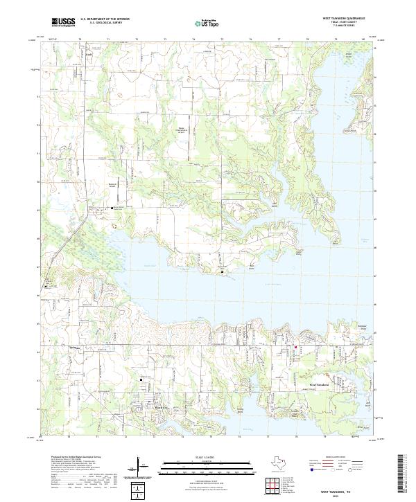
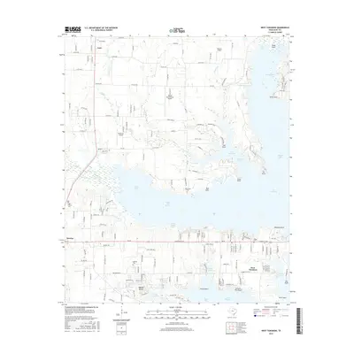
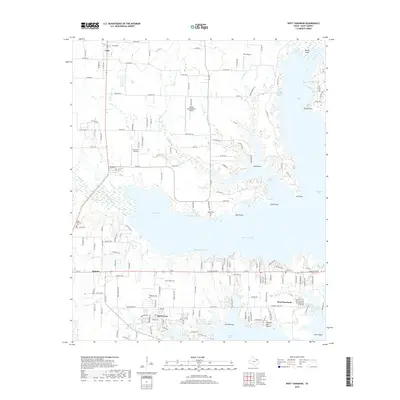
Lake Tawakoni dominates this corner of Hunt County, defining a landscape of deep inlets and residential fingers including Hawk Cove and the city of West Tawakoni. The map details a complex shoreline characterized by curiously named segments like White Bread Reach, Screech Owl Reach, and Moon Head Reach. Inland, the settlement of Quinlan serves as a hub for the southern reaches of the quadrangle, while smaller communities like Cash and Clearview sit to the north.
Find a feature on this map
169 named features on this map. Tap any name to fly to it.
Don’t see what you’re looking for? This feature index may not catch every label — zoom into the map to look around manually.
Map Details
Date Portrayed2022
Date Published2022
PublisherU.S. Geological Survey
Map TypeTopographic
Scale1:24,000
Physical Dimensions24 x 29 inches
Editions of this 2022 West Tawakoni Map
This is the sole edition of this map. No revisions or reprints were ever made.
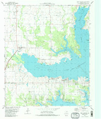
Historical Maps of West Tawakoni Through Time
6 maps found
Featured Locations
Source Details
SourceU.S. Geological Survey
CopyrightPublic Domain