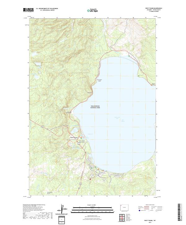
2021 Map of West Thumb
USGS Topo · Published 2021About this map
The geothermal activity of Yellowstone National Park dominates this topography, specifically concentrated around the West Thumb settlement. This area is characterized by the high density of hydrothermal features along the shores of Yellowstone Lake West Thumb, ranging from the Fishing Cone located directly at the water's edge to the West Thumb Geyser Basin. The shoreline morphology is defined by Bluff Point and Carrington Island, while the interior terrain includes Duck Lake and the Potts Hot Spring Basin. The southern portion of the map traces the Continental Divide, showing how the land slopes toward various drainages like Solution Cr and Big Thumb Cr. Transportation infrastructure is centered on the intersection of the South Entrance Road and the Grand Loop Road, which provides access to established visitor sites such as Grant Village Road.
Find a feature on this map
44 named features on this map. Tap any name to fly to it.
Don’t see what you’re looking for? This feature index may not catch every label — zoom into the map to look around manually.
Map Details
Editions of this 2021 West Thumb Map
This is the sole edition of this map. No revisions or reprints were ever made.
Other maps of this area

1885 · Lake
USGS Topo · 1:125,000

1885 · Gallatin
USGS Topo · 1:125,000

1885 · Gallatin
USGS Topo · 1:125,000

1886 · Shoshone
USGS Topo · 1:125,000

1886 · Canyon
USGS Topo · 1:125,000

1888 · Shoshone
USGS Topo · 1:125,000

1895 · Shoshone
USGS Topo · 1:125,000

1895 · Canyon
USGS Topo · 1:125,000

1895 · Lake
USGS Topo · 1:125,000

1896 · Lake
USGS Topo · 1:125,000