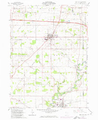
1961 Map of West Unity
USGS Topo · Published 1974About this map
West Unity serves as the central hub of this Williams County landscape, where the Norfolk and Western railway intersects with the local road network. To the south, the village of Stryker sits along the Penn Central line and the banks of the Tiffin River. The map illustrates a settled agricultural region defined by its numerous rural congregations and burial grounds, including the Quaker Ch Cem near the Fulton Line and the German Ch further south.
Find a feature on this map
36 named features on this map. Tap any name to fly to it.
Don’t see what you’re looking for? This feature index may not catch every label — zoom into the map to look around manually.
Map Details
Editions of this 1961 West Unity Map
2 editions found
Other maps of this area

1907 · Defiance
USGS Topo · 1:62,500

1909 · Defiance
USGS Topo · 1:62,500

1913 · Alvordton
USGS Topo · 1:62,500

1914 · Pioneer
USGS Topo · 1:62,500

1914 · Bryan
USGS Topo · 1:62,500

1943 · Bryan
USGS Topo · 1:62,500

1944 · Pioneer
USGS Topo · 1:62,500

1944 · Alvordton
USGS Topo · 1:62,500

1953 · Fort Wayne
USGS Topo · 1:250,000

1956 · Fort Wayne
USGS Topo · 1:250,000