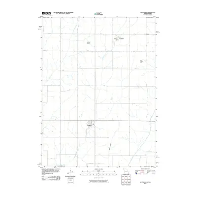
2010 Map of Westboro
USGS Topo · Published 2010About this map
Westboro sits at a crossroads in Atchison County, Missouri, anchoring a landscape defined by the agricultural rhythms of the Missouri-Iowa border region. The settlement of Northboro lies just to the north, accompanied by the Northboro Post Office, while the small community of Walkerville is situated to the west. This area is heavily influenced by the drainage patterns of the West Tarkio, Middle Tarkio Creek, and the Tarkio River, which flow southward through a grid of rural section roads.
Find a feature on this map
38 named features on this map. Tap any name to fly to it.
Don’t see what you’re looking for? This feature index may not catch every label — zoom into the map to look around manually.
Map Details
Editions of this 2010 Westboro Map
This is the sole edition of this map. No revisions or reprints were ever made.
Other maps of this area

1939 · Tarkio
USGS Topo · 1:62,500

1939 · Farragut
USGS Topo · 1:62,500

1939 · Skidmore
USGS Topo · 1:62,500

1940 · Tarkio
USGS Topo · 1:62,500

1940 · Farragut
USGS Topo · 1:62,500

1940 · Coin
USGS Topo · 1:62,500

1941 · Tarkio
USGS Topo · 1:62,500

1941 · Skidmore
USGS Topo · 1:62,500

1942 · Skidmore
USGS Topo · 1:62,500

1943 · Coin
USGS Topo · 1:62,500