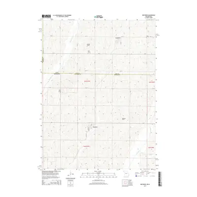
2014 Map of Westboro
USGS Topo · Published 2014About this map
Westboro and Northboro anchor this agricultural survey along the border of Iowa and Missouri, where the landscape is defined by the drainage of the Tarkio River and its tributaries. The topography reveals the intricate stream networks of Middle Tarkio Cr and Long Br, which have carved the surrounding terrain into features like Deadmans Hollow. For genealogists and local historians, this map provides precise locations for several regional burial grounds, including the Washington Township Cemetery, Union Grove Cemetery, Houser Cemetery, and Walden Grove Cemetery. The layout of section lines and early 21st-century road networks like Mo-C and Fremont-Page Ave reflects the enduring rural structure of Atchison County and Page County. The state line itself, marked as Iowa Missouri, bisects the map, showing how these border communities were integrated by shared geography and road systems.
Find a feature on this map
24 named features on this map. Tap any name to fly to it.
Don’t see what you’re looking for? This feature index may not catch every label — zoom into the map to look around manually.
Map Details
Editions of this 2014 Westboro Map
This is the sole edition of this map. No revisions or reprints were ever made.
Other maps of this area

1939 · Tarkio
USGS Topo · 1:62,500

1939 · Farragut
USGS Topo · 1:62,500

1939 · Skidmore
USGS Topo · 1:62,500

1940 · Tarkio
USGS Topo · 1:62,500

1940 · Farragut
USGS Topo · 1:62,500

1940 · Coin
USGS Topo · 1:62,500

1941 · Tarkio
USGS Topo · 1:62,500

1941 · Skidmore
USGS Topo · 1:62,500

1942 · Skidmore
USGS Topo · 1:62,500

1943 · Coin
USGS Topo · 1:62,500