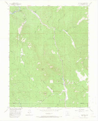
1956 Map of Westcreek
USGS Topo · Published 1966About this map
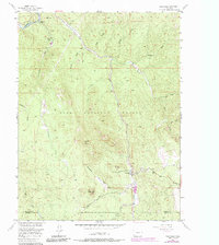
The South Platte River cuts through the northern boundary of this Jefferson and Douglas County landscape, where the mid-century settlement pattern is defined by isolated ranching outposts and recreation camps. The community of Westcreek serves as a central hub, situated near Westcreek Lake and a local Cem, reflecting a quiet mountain economy during the 1950s. Distinctive granite formations such as Thunder Butte and Sheep Nose dominate the topography, while a Quarry near Orion Ranch indicates localized resource extraction.
Find a feature on this map
37 named features on this map. Tap any name to fly to it.
Don’t see what you’re looking for? This feature index may not catch every label — zoom into the map to look around manually.
Map Details
Editions of this 1956 Westcreek Map
5 editions found
Other maps of this area

1893 · Platte Canyon
USGS Topo · 1:125,000

1953 · Denver
USGS Topo · 1:250,000

1954 · Devils Head
USGS Topo · 1:24,000

1954 · Deckers
USGS Topo · 1:24,000

1954 · Green Mountain
USGS Topo · 1:24,000

1954 · Mount Deception
USGS Topo · 1:24,000

1954 · Signal Butte
USGS Topo · 1:24,000
1956 · Dakan Mountain
USGS Topo · 1:24,000

1956 · Hackett Mountain
USGS Topo · 1:24,000
1956 · Cheesman Lake
USGS Topo · 1:24,000