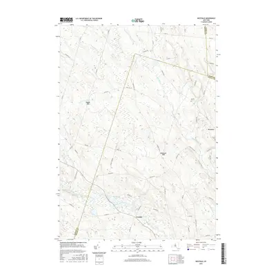
2016 Map of Westdale
USGS Topo · Published 2016About this map
The Westdale community serves as a focal point in this 2016 study, located where the West Branch Fish Creek meets the network of local roads in Oneida County. This modern survey illustrates the persistent rural character of the region, where historical burial grounds like Johnson Cem and Graves Cem remain preserved alongside the Mad River. The landscape is defined by the gradual elevation of Florence Hill and Maple Hill, separating the small settlements of Florence and Westdale.
Find a feature on this map
64 named features on this map. Tap any name to fly to it.
Don’t see what you’re looking for? This feature index may not catch every label — zoom into the map to look around manually.
Map Details
Editions of this 2016 Westdale Map
This is the sole edition of this map. No revisions or reprints were ever made.
Other maps of this area

1903 · Orwell
USGS Topo · 1:62,500

1905 · Orwell
USGS Topo · 1:62,500

1905 · Taberg
USGS Topo · 1:62,500

1906 · Highmarket
USGS Topo · 1:62,500

1906 · Kasoag
USGS Topo · 1:62,500

1942 · Redfield
USGS Topo · 1:24,000

1943 · Redfield
USGS Topo · 1:31,680

1943 · Westdale
USGS Topo · 1:31,680

1943 · Camden West
USGS Topo · 1:31,680

1943 · East Florence
USGS Topo · 1:31,680