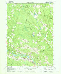
1959 Map of Westdale
USGS Topo · Published 1961About this map
Westdale and Florence serve as the primary nodes of activity in this rural pocket of Oneida County, where the landscape is defined by the sweeping State Reforestation Area. The terrain is deeply carved by the Mad River and the West Branch Fish Creek, which converge near the southern boundary. This 1959 study highlights a shift in land use, showing an extensive network of roads like Meirs Road and Metot Road that connect isolated farmsteads and highland points like Maple Hill.
Find a feature on this map
50 named features on this map. Tap any name to fly to it.
Don’t see what you’re looking for? This feature index may not catch every label — zoom into the map to look around manually.
Map Details
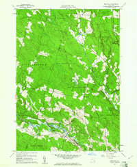
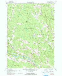
Editions of this 1959 Westdale Map
3 editions found
Other maps of this area

1903 · Orwell
USGS Topo · 1:62,500

1905 · Orwell
USGS Topo · 1:62,500

1905 · Taberg
USGS Topo · 1:62,500

1906 · Highmarket
USGS Topo · 1:62,500

1906 · Kasoag
USGS Topo · 1:62,500

1942 · Redfield
USGS Topo · 1:24,000

1943 · Redfield
USGS Topo · 1:31,680

1943 · Westdale
USGS Topo · 1:31,680

1943 · Camden West
USGS Topo · 1:31,680

1943 · East Florence
USGS Topo · 1:31,680