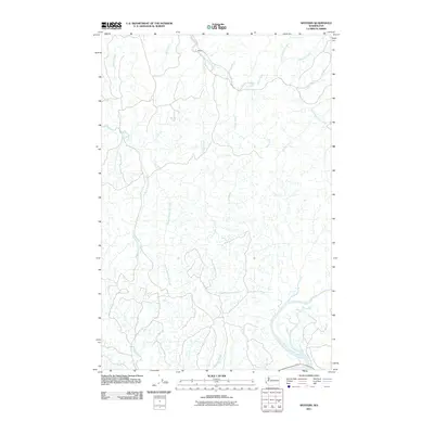
2011 Map of Western
USGS Topo · Published 2011About this map
The settlement of Western sits near the headwaters of the Johns River, anchoring a coastal Washington landscape defined by a dense network of river systems and drainage canals. The geography is dominated by the intricate branching of the Elk River, including its West Branch, Middle Branch, and East Branch, which carve through the terrain. The presence of Crawford Ditch indicates historical efforts to manage the water levels of these wetlands and bottomlands.
Find a feature on this map
19 named features on this map. Tap any name to fly to it.
Don’t see what you’re looking for? This feature index may not catch every label — zoom into the map to look around manually.
Map Details
Editions of this 2011 Western Map
This is the sole edition of this map. No revisions or reprints were ever made.
Other maps of this area

1938 · Cape Shoalwater
USGS Topo · 1:62,500

1938 · South Bend
USGS Topo · 1:62,500

1940 · South Bend
USGS Topo · 1:62,500

1941 · Grayland
USGS Topo · 1:62,500

1943 · Copalis Beach
USGS Topo · 1:250,000

1951 · Copalis Beach
USGS Topo · 1:250,000

1953 · Hoquiam
USGS Topo · 1:250,000

1955 · Aberdeen SE
USGS Topo · 1:24,000
1956 · North Cove
USGS Topo · 1:24,000
1956 · Westport
USGS Topo · 1:24,000