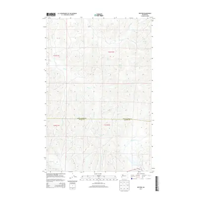
2013 Map of Western
USGS Topo · Published 2013About this map
Western sits as the central point of interest in this coastal river landscape, where complex drainage systems define the geography of the Grays Harbor Co Pacific Co line. The map is dominated by the intricate network of the Johns River, including its N Fork and S Fork, alongside the extensive reaches of the Elk River and its multiple branches. These waterways, combined with features like Crawford Ditch, suggest a landscape shaped by both natural tidal influences and intentional water management. To the south, the North River and Cedar River carve through the terrain, while the presence of Wa-105 provides the primary transit corridor through this maritime environment. This survey provides a precise look at the hydrography and township boundaries before modern coastal development further altered the drainage patterns of the region.
Find a feature on this map
27 named features on this map. Tap any name to fly to it.
Don’t see what you’re looking for? This feature index may not catch every label — zoom into the map to look around manually.
Map Details
Editions of this 2013 Western Map
This is the sole edition of this map. No revisions or reprints were ever made.
Other maps of this area

1938 · Cape Shoalwater
USGS Topo · 1:62,500

1938 · South Bend
USGS Topo · 1:62,500

1940 · South Bend
USGS Topo · 1:62,500

1941 · Grayland
USGS Topo · 1:62,500

1943 · Copalis Beach
USGS Topo · 1:250,000

1951 · Copalis Beach
USGS Topo · 1:250,000

1953 · Hoquiam
USGS Topo · 1:250,000

1955 · Aberdeen SE
USGS Topo · 1:24,000
1956 · North Cove
USGS Topo · 1:24,000
1956 · Westport
USGS Topo · 1:24,000