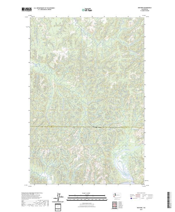
2023 Map of Western
USGS Topo · Published 2023About this map
The Johns River and its intricate drainage system define this coastal landscape where Grays Harbor Co meets Pacific Co. The map documents a dense network of tributaries including the North Fork Johns River and South Fork Johns River, alongside man-made features like Crawford Ditch. This area, characterized by its numerous watercourses such as Hall Creek and Florence Creek, shows the natural transition toward the southern reaches of the quadrangle where the North River flows toward Willapa Bay.
Find a feature on this map
27 named features on this map. Tap any name to fly to it.
Don’t see what you’re looking for? This feature index may not catch every label — zoom into the map to look around manually.
Map Details
Editions of this 2023 Western Map
This is the sole edition of this map. No revisions or reprints were ever made.
Other maps of this area

1938 · Cape Shoalwater
USGS Topo · 1:62,500

1938 · South Bend
USGS Topo · 1:62,500

1940 · South Bend
USGS Topo · 1:62,500

1941 · Grayland
USGS Topo · 1:62,500

1943 · Copalis Beach
USGS Topo · 1:250,000

1951 · Copalis Beach
USGS Topo · 1:250,000

1953 · Hoquiam
USGS Topo · 1:250,000

1955 · Aberdeen SE
USGS Topo · 1:24,000
1956 · North Cove
USGS Topo · 1:24,000
1956 · Westport
USGS Topo · 1:24,000