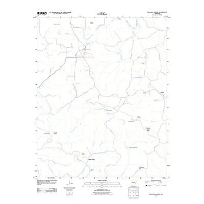
2011 Map of Western Grove
USGS Topo · Published 2011About this map
Western Grove sits at the junction of local routes in this part of Newton County, serving as a primary point of settlement alongside the smaller community of Pindall to the east. The terrain is defined by a series of hollows and ridges, most notably Pinhook Hollow and the Cane Branch Hills, which channel a network of watercourses toward the Buffalo River in the south. This landscape has been shaped by both natural springs, like Mitch Hill Spring and Chinquapin Spring, and human industry, evidenced by the Hurricane Mine.
Find a feature on this map
68 named features on this map. Tap any name to fly to it.
Don’t see what you’re looking for? This feature index may not catch every label — zoom into the map to look around manually.
Map Details
Editions of this 2011 Western Grove Map
This is the sole edition of this map. No revisions or reprints were ever made.
Other maps of this area

1892 · Marshall
USGS Topo · 1:125,000

1893 · Yellville
USGS Topo · 1:125,000

1894 · Marshall
USGS Topo · 1:125,000

1901 · Marshall
USGS Topo · 1:125,000

1903 · Yellville
USGS Topo · 1:125,000

1904 · Harrison
USGS Topo · 1:125,000

1905 · Harrison
USGS Topo · 1:125,000

1905 · Yellville
USGS Topo · 1:125,000

1929 · Yellville
USGS Topo · 1:125,000

1933 · Mt Judea
USGS Topo · 1:62,500