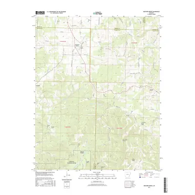
2017 Map of Western Grove
USGS Topo · Published 2017About this map
Western Grove and Pindall anchor this portion of the Ozark plateau, where the landscape is defined by the deep incisions of the Buffalo River system. The terrain transitions from the upland ridges of Chinquapin Spring Ridge down into the protected corridor of the Buffalo National River. This area is marked by a complex network of springs and hollows, including Cave Spring Hollow and Pinhook Hollow, which historically dictated the placement of small communities and family burial grounds like Wilbourn Cem and Mount Hersey Cem.
Find a feature on this map
96 named features on this map. Tap any name to fly to it.
Don’t see what you’re looking for? This feature index may not catch every label — zoom into the map to look around manually.
Map Details
Editions of this 2017 Western Grove Map
This is the sole edition of this map. No revisions or reprints were ever made.
Other maps of this area

1892 · Marshall
USGS Topo · 1:125,000

1893 · Yellville
USGS Topo · 1:125,000

1894 · Marshall
USGS Topo · 1:125,000

1901 · Marshall
USGS Topo · 1:125,000

1903 · Yellville
USGS Topo · 1:125,000

1904 · Harrison
USGS Topo · 1:125,000

1905 · Harrison
USGS Topo · 1:125,000

1905 · Yellville
USGS Topo · 1:125,000

1929 · Yellville
USGS Topo · 1:125,000

1933 · Mt Judea
USGS Topo · 1:62,500