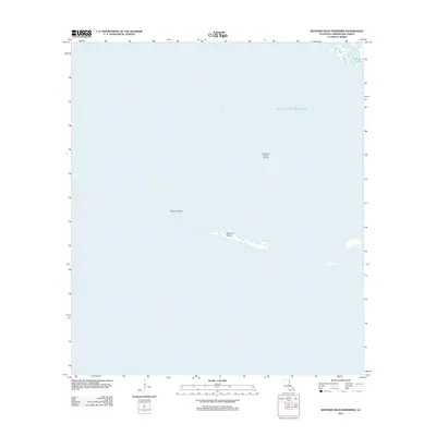
2012 Map of Western Isles Dernieres
USGS Topo · Published 2012About this map
Raccoon Island and its westernmost tip at Raccoon Point stand as isolated remnants of a barrier island chain along the Terrebonne Parish coast. This 2012 survey illustrates the precarious nature of these landforms where the Gulf of Mexico meets Caillou Bay. The presence of the Pass Wilson Oil and Gas Field indicates the industrial utilization of these offshore waters, even as the coastal geography continues to shift. To the northeast, the map tracks the outlet of Bayou l'Ourse, providing a snapshot of the intricate transition from inland waterways to the open sea during the early 21st century.
Find a feature on this map
6 named features on this map. Tap any name to fly to it.
Don’t see what you’re looking for? This feature index may not catch every label — zoom into the map to look around manually.
Map Details
Editions of this 2012 Western Isles Dernieres Map
This is the sole edition of this map. No revisions or reprints were ever made.
Other maps of this area

1935 · Oyster Bayou
USGS Topo · 1:62,500

1945 · New Orleans
USGS Topo · 1:250,000
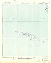
1947 · West Derniere
USGS Topo · 1:31,680

1949 · Grand Bayou Du Large
USGS Topo · 1:31,680
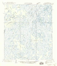
1949 · Dog Lake
USGS Topo · 1:31,680
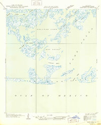
1950 · Derniere
USGS Topo · 1:31,680
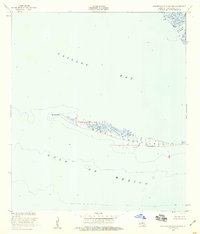
1953 · Western Isles Dernieres
USGS Topo · 1:24,000
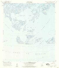
1953 · Central Isles Dernieres
USGS Topo · 1:24,000
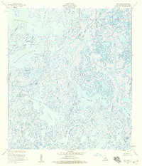
1953 · Dog Lake
USGS Topo · 1:24,000
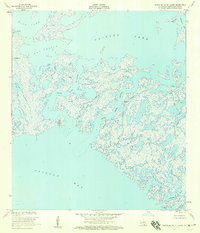
1953 · Grand Bayou Du Large
USGS Topo · 1:24,000