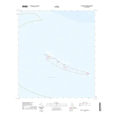
2020 Map of Western Isles Dernieres
USGS Topo · Published 2020About this map
Isles Dernieres forms a narrow, shifting barrier chain between the Caillou Bay and the open Gulf of Mexico along the Louisiana coast. This 2020 survey of Terrebonne Parish highlights the precarious nature of these landforms, showing the western extremity of the archipelago including Raccoon Island and its westernmost tip at Raccoon Point. The mapping captures the coastal geomorphology of the region, where the shallow waters of Coupe Colin separate the fragmented land masses. These islands serve as critical buffers for the mainland, and their documented footprint here provides a baseline for understanding the rapid environmental changes and erosion patterns affecting the Gulf coast. The map is defined by vast aquatic expanses, with only the thin ribbon of the islands and the established Public Land Survey System boundaries, such as those for T24S R15E, providing terrestrial reference points.
Find a feature on this map
9 named features on this map. Tap any name to fly to it.
Don’t see what you’re looking for? This feature index may not catch every label — zoom into the map to look around manually.
Map Details
Editions of this 2020 Western Isles Dernieres Map
This is the sole edition of this map. No revisions or reprints were ever made.
Other maps of this area

1935 · Oyster Bayou
USGS Topo · 1:62,500

1945 · New Orleans
USGS Topo · 1:250,000
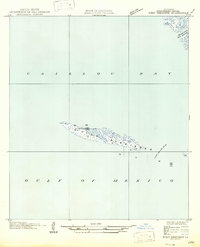
1947 · West Derniere
USGS Topo · 1:31,680

1949 · Grand Bayou Du Large
USGS Topo · 1:31,680
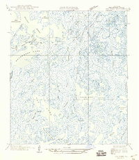
1949 · Dog Lake
USGS Topo · 1:31,680
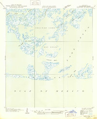
1950 · Derniere
USGS Topo · 1:31,680
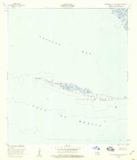
1953 · Western Isles Dernieres
USGS Topo · 1:24,000
1953 · Central Isles Dernieres
USGS Topo · 1:24,000
1953 · Dog Lake
USGS Topo · 1:24,000
1953 · Grand Bayou Du Large
USGS Topo · 1:24,000