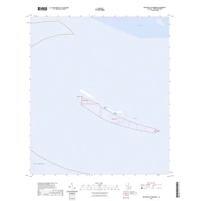
2024 Map of Western Isles Dernieres
USGS Topo · Published 2024About this map
Isles Dernieres stretches across this coastal survey, representing a critical chain of barrier islands on the edge of the Gulf of Mexico. The map documents the fragile geography of Raccoon Island and the prominent Raccoon Point, illustrating the current state of these landforms against the waters of Caillou Bay. This region is defined by its isolation and the shifting hydrography of Coupe Colin, where the lack of roads or permanent settlements emphasizes the role of these islands as natural buffers and habitat zones rather than centers of human industry. The inclusion of Public Land Survey System boundaries such as t24s r15e and t24s r16e over open water and marsh highlights the intersection of formal property grids with an ever-changing maritime environment.
Find a feature on this map
9 named features on this map. Tap any name to fly to it.
Don’t see what you’re looking for? This feature index may not catch every label — zoom into the map to look around manually.
Map Details
Editions of this 2024 Western Isles Dernieres Map
This is the sole edition of this map. No revisions or reprints were ever made.
Other maps of this area

1935 · Oyster Bayou
USGS Topo · 1:62,500

1945 · New Orleans
USGS Topo · 1:250,000
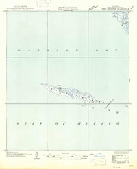
1947 · West Derniere
USGS Topo · 1:31,680

1949 · Grand Bayou Du Large
USGS Topo · 1:31,680
1949 · Dog Lake
USGS Topo · 1:31,680
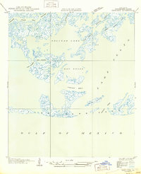
1950 · Derniere
USGS Topo · 1:31,680
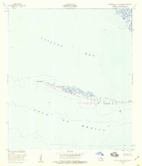
1953 · Western Isles Dernieres
USGS Topo · 1:24,000
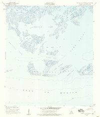
1953 · Central Isles Dernieres
USGS Topo · 1:24,000
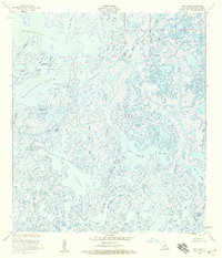
1953 · Dog Lake
USGS Topo · 1:24,000
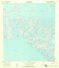
1953 · Grand Bayou Du Large
USGS Topo · 1:24,000