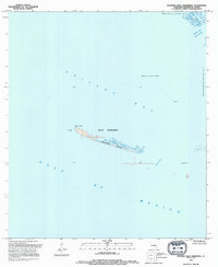
1994 Map of Western Isles Dernieres
USGS Topo · Published 1994About this map
Raccoon Island stands as a prominent remnant of the barrier island chain known as the Isles Dernieres, separating the open Gulf of Mexico from Caillou Bay. This coastal environment in Terrebonne Parish is characterized by shifting sands and strategic maritime passages, including Coupe Colin and the marsh-fringed Grand Pass des Ilettes. The 1990s-era landscape reveals the significant footprint of the offshore energy industry, with the Block 40 Gas Field, Pass des Ilettes Gas Field, and Pass Wilson Oil and Gas Field dotting the waters. At Racoon Point and Coon Point, the delicate intersection of Gulf currents and landforms is meticulously documented. The presence of a stationary Platform and various Shoal markings highlights the navigational hazards and industrial activity central to this stretch of the Louisiana coast during the late twentieth century.
Find a feature on this map
15 named features on this map. Tap any name to fly to it.
Don’t see what you’re looking for? This feature index may not catch every label — zoom into the map to look around manually.
Map Details
Editions of this 1994 Western Isles Dernieres Map
This is the sole edition of this map. No revisions or reprints were ever made.
Other maps of this area

1935 · Oyster Bayou
USGS Topo · 1:62,500

1945 · New Orleans
USGS Topo · 1:250,000
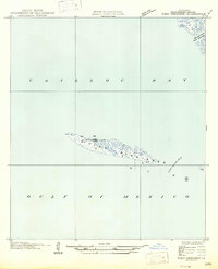
1947 · West Derniere
USGS Topo · 1:31,680

1949 · Grand Bayou Du Large
USGS Topo · 1:31,680
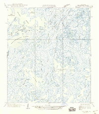
1949 · Dog Lake
USGS Topo · 1:31,680
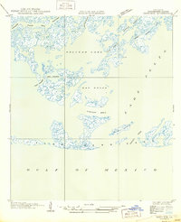
1950 · Derniere
USGS Topo · 1:31,680
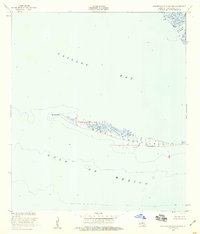
1953 · Western Isles Dernieres
USGS Topo · 1:24,000
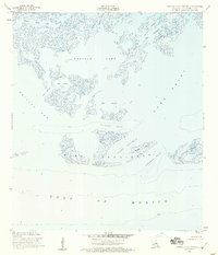
1953 · Central Isles Dernieres
USGS Topo · 1:24,000
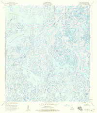
1953 · Dog Lake
USGS Topo · 1:24,000
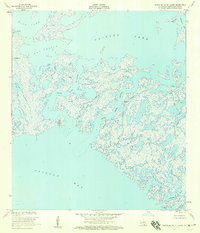
1953 · Grand Bayou Du Large
USGS Topo · 1:24,000