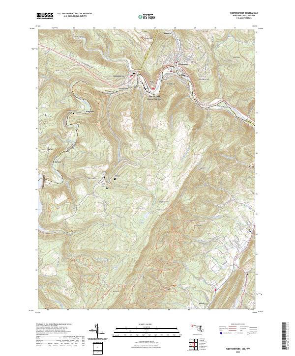
2023 Map of Westernport
USGS Topo · Published 2023About this map
The North Branch Potomac River serves as the winding border between Maryland and West Virginia, anchoring a cluster of historic industrial and residential centers including Westernport, Piedmont, and Luke. This 2023 survey illustrates the dense settlement patterns at the confluence of Georges Creek and the Potomac, where steep topography like Franklin Hill and Hampshire Hill has historically constrained development to the narrow valley floors.
Find a feature on this map
98 named features on this map. Tap any name to fly to it.
Don’t see what you’re looking for? This feature index may not catch every label — zoom into the map to look around manually.
Map Details
Editions of this 2023 Westernport Map
This is the sole edition of this map. No revisions or reprints were ever made.
Other maps of this area

1891 · Romney
USGS Topo · 1:125,000

1895 · Piedmont
USGS Topo · 1:125,000

1898 · Frostburg
USGS Topo · 1:62,500

1899 · Grantsville
USGS Topo · 1:62,500

1901 · Frostburg
USGS Topo · 1:62,500

1904 · Grantsville
USGS Topo · 1:62,500

1908 · Frostburg
USGS Topo · 1:62,500

1919 · Elk Garden
USGS Topo · 1:48,000

1920 · Elk Garden
USGS Topo · 1:48,000

1920 · Keyser
USGS Topo · 1:62,500