Loading...
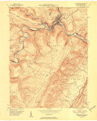
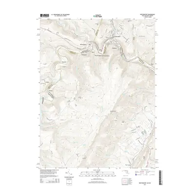
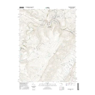
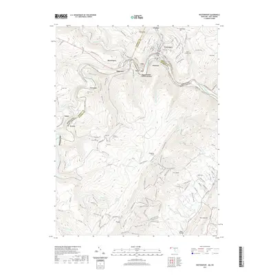
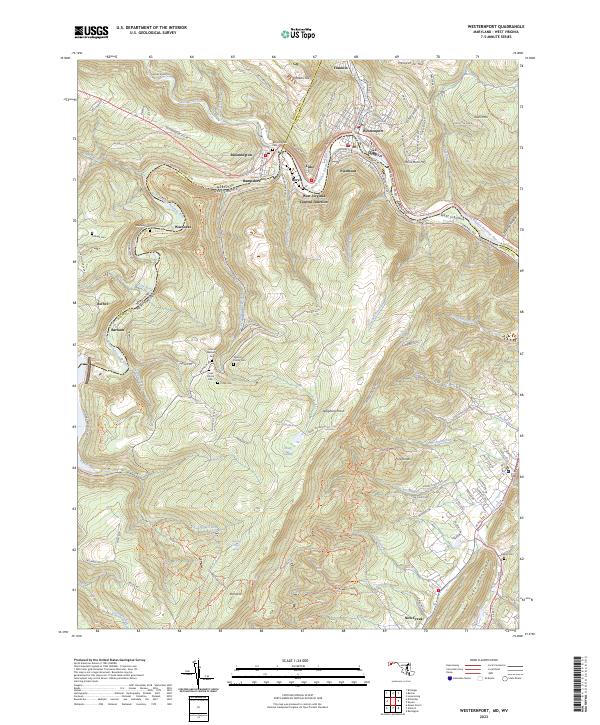
Loading map...1951 Map of Westernport
USGS Topo · Published 1951About this map
The industrial corridor of the North Branch of the Potomac River anchors this mid-century survey, where the towns of Westernport, Piedmont, and Luke form a dense cluster of development at the river's bend. This area, located where the Allegheny Front meets the Potomac, shows the significant footprint of the Baltimore and Ohio Railroad and the Western Maryland Railway as they navigate the steep gaps between Dans Mtn and Franklin Hill.
Find a feature on this map
57 named features on this map. Tap any name to fly to it.
Don’t see what you’re looking for? This feature index may not catch every label — zoom into the map to look around manually.
Map Details
Date Portrayed1951
Date Published1951
PublisherU.S. Geological Survey
Map TypeTopographic
Scale1:24,000
Physical Dimensions22.1 x 27.4 inches
Editions of this 1951 Westernport Map
This is the sole edition of this map. No revisions or reprints were ever made.
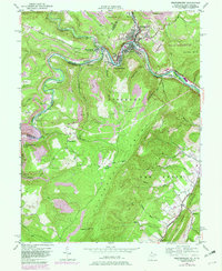
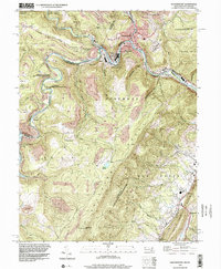
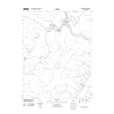
Historical Maps of Westernport Through Time
8 maps found
Featured Locations
Source Details
SourceU.S. Geological Survey
CopyrightPublic Domain