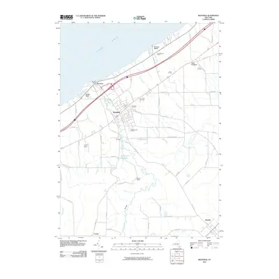
2010 Map of Westfield
USGS Topo · Published 2010About this map
Westfield serves as the hub of this Chautauqua County landscape, where the agricultural traditions of the Lake Erie shoreline meet the steep elevations of the Allegheny Plateau. The terrain is defined by the deep incisions of Chautauqua Creek, which carves a path through the dramatic gorge known as The Gulf. Along the lakefront, the historic fishing village of Barcelona sits near Montoes Marina, while the interior remains a productive viticultural and dairy region. Local industry and land use are clearly marked through sites like the Johnson Estate Winery, Vetter Vineyards, and the Vine City Dairy. Genealogists will find several significant burial grounds, including the Old Saint James Cemetery and Westfield Cemetery. The map also captures critical infrastructure such as the Camp Vernon Airport and the water management systems at Kent Reservoir and Minton Reservoir, illustrating the area's balance of rural character and managed resources.
Find a feature on this map
73 named features on this map. Tap any name to fly to it.
Don’t see what you’re looking for? This feature index may not catch every label — zoom into the map to look around manually.
Map Details
Editions of this 2010 Westfield Map
This is the sole edition of this map. No revisions or reprints were ever made.
Other maps of this area

1899 · Westfield
USGS Topo · 1:62,500

1900 · Dunkirk
USGS Topo · 1:62,500

1904 · Chautaqua
USGS Topo · 1:62,500

1905 · Clymer
USGS Topo · 1:62,500

1939 · Clymer
USGS Topo · 1:62,500

1941 · Chautauqua
USGS Topo · 1:62,500

1941 · Clymer
USGS Topo · 1:62,500

1943 · Dunkirk
USGS Topo · 1:62,500

1954 · Chautauqua
USGS Topo · 1:24,000

1954 · South Ripley
USGS Topo · 1:24,000