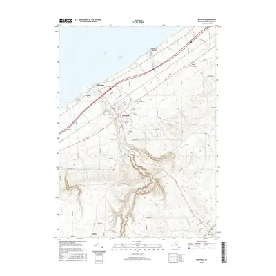
2016 Map of Westfield
USGS Topo · Published 2016About this map
Lake Erie defines the northern edge of this Lake Erie shoreline landscape, where the settlement of Barcelona serves as a historic harbor point. The terrain rises sharply from the coast toward the southern uplands, carved by the deep drainage of Chautauqua Creek and its many tributaries like Little Chautauqua Creek. This topography influenced the placement of early infrastructure, seen in the winding path of S Portage Rd and the concentration of local heritage sites within Westfield. Genealogy researchers can find several established burial grounds including Saint James Cemetery and the Old Saint James Cemetery, alongside civic landmarks like the Westfield Cemetery. The southern reaches of the quadrangle transition into the higher elevations of Mount Baldy, where the water supply is managed through the Minton Reservoir and Kent Reservoir, before sloping toward the crossroads at Volusia.
Find a feature on this map
98 named features on this map. Tap any name to fly to it.
Don’t see what you’re looking for? This feature index may not catch every label — zoom into the map to look around manually.
Map Details
Editions of this 2016 Westfield Map
This is the sole edition of this map. No revisions or reprints were ever made.
Other maps of this area

1899 · Westfield
USGS Topo · 1:62,500

1900 · Dunkirk
USGS Topo · 1:62,500

1904 · Chautaqua
USGS Topo · 1:62,500

1905 · Clymer
USGS Topo · 1:62,500

1939 · Clymer
USGS Topo · 1:62,500

1941 · Chautauqua
USGS Topo · 1:62,500

1941 · Clymer
USGS Topo · 1:62,500

1943 · Dunkirk
USGS Topo · 1:62,500

1954 · Chautauqua
USGS Topo · 1:24,000

1954 · South Ripley
USGS Topo · 1:24,000