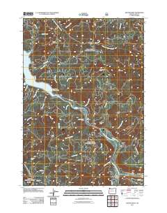
2011 Map of Westfir West
USGS Topo · Published 2011About this map
The Middle Fork Willamette River defines the lower geography of this Lane County corridor, where the settlements of Westfir and Hemlock sit at the confluence of the river's North Fork. This 2011 survey illustrates a landscape of managed forest and steep relief, anchored by the Oakridge State Airport and the structural crossing at Old Barnard Bridge. To the northwest, the map captures the eastern reach of Lookout Point Lake, a significant reservoir fed by numerous drainages like Cloverpatch Creek and Armet Creek. The terrain is marked by high summits including Tire Mountain and Green Mountain, reflecting the area's history as a hub for timber and recreation. Forest service infrastructure is visible through remote sites such as Prairie Camp Shelter, Lone Wolf Shelter, and South Fork Shelter, which trace the network of access roads like N Shore RD and Usfs RD 5847 throughout the mountainous interior.
Find a feature on this map
44 named features on this map. Tap any name to fly to it.
Don’t see what you’re looking for? This feature index may not catch every label — zoom into the map to look around manually.
Map Details
Editions of this 2011 Westfir West Map
This is the sole edition of this map. No revisions or reprints were ever made.
Other maps of this area

1925 · Waldo Lake
USGS Topo · 1:125,000

1935 · Lowell
USGS Topo · 1:96,000

1942 · Lowell
USGS Topo · 1:125,000

1955 · Hardesty Mtn
USGS Topo · 1:62,500

1955 · Fairview Peak
USGS Topo · 1:62,500

1956 · Oakridge
USGS Topo · 1:62,500

1956 · Sardine Butte
USGS Topo · 1:62,500

1958 · Roseburg
USGS Topo · 1:250,000

1959 · Roseburg
USGS Topo · 1:250,000

1983 · Oakridge
USGS Topo · 1:100,000