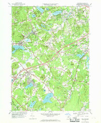
1966 Map of Westford
USGS Topo · Published 1969About this map
The industrial and educational foundations of Westford are evident in this mid-1960s study, which highlights the transition from a rail-dependent economy to suburban growth. The sheet traces the Boston and Maine Railroad through Forge Village and Graniteville, alongside many specialized burial grounds like Russian Cem and St Catherine Cem. Significant institutions of the period, including Westford Academy and Littleton High Sch, anchor the local community centers.
Find a feature on this map
91 named features on this map. Tap any name to fly to it.
Don’t see what you’re looking for? This feature index may not catch every label — zoom into the map to look around manually.
Map Details
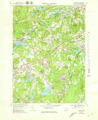
Editions of this 1966 Westford Map
2 editions found
Other maps of this area

1886 · Lowell
USGS Topo · 1:62,500

1886 · Framingham
USGS Topo · 1:62,500

1887 · Marlboro
USGS Topo · 1:62,500

1889 · Marlboro
USGS Topo · 1:62,500

1889 · Framingham
USGS Topo · 1:62,500

1893 · Lowell
USGS Topo · 1:62,500

1893 · Groton
USGS Topo · 1:62,500

1894 · Framingham
USGS Topo · 1:62,500

1896 · Marlboro
USGS Topo · 1:62,500

1898 · Marlboro
USGS Topo · 1:62,500