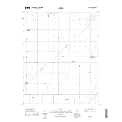
2018 Map of Westhaven
USGS Topo · Published 2018About this map
The settlement of Westhaven anchors the northwest corner of this agricultural landscape in the Central San Joaquin Valley. The map records a grid of section lines and access roads, including Avenal Cutoff Rd, which slices diagonally across the territory. The region's dependence on managed water is evident in the presence of the Empire Westside Ditch and the Blakeley Canal in the southeast, essential arteries for the vast fields that define the area. To the south, the Stone Land Co Airport serves as a reminder of the specialized logistical needs of large-scale ranching and farming operations. This survey also captures the precise boundary between Fresno and Kings counties, a line that bisects the open landscape and shapes the local administrative and land-ownership patterns of the early 21st century.
Find a feature on this map
28 named features on this map. Tap any name to fly to it.
Don’t see what you’re looking for? This feature index may not catch every label — zoom into the map to look around manually.
Map Details
Editions of this 2018 Westhaven Map
This is the sole edition of this map. No revisions or reprints were ever made.
Other maps of this area

1912 · Coalinga
USGS Topo · 1:125,000

1926 · Lethent
USGS Topo · 1:31,680

1927 · Lemoore
USGS Topo · 1:31,680

1929 · Stratford
USGS Topo · 1:31,680

1929 · Westhaven
USGS Topo · 1:31,680

1930 · Discovery Well
USGS Topo · 1:31,680

1932 · West of Lethent
USGS Topo · 1:31,680

1933 · Kettleman City
USGS Topo · 1:31,680

1933 · Huron
USGS Topo · 1:31,680

1933 · Chatom Ranch
USGS Topo · 1:31,680