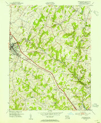
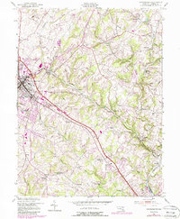
1953 Map of Westminster
USGS Topo · Published 1954About this map
Westminster serves as a central hub in the early 1950s, defined by the Western Maryland railroad line that cuts diagonally through the landscape. The town center is well-established, featuring the Robert Moton Sch, a local High Sch, and the County Medical Center. Beyond the urban core, the rural Carroll County character is evident through a network of small crossroad settlements and milling operations. Points like Hoffmans Mill and Walnut Grove Mills highlight the importance of water power along the Cranberry Run and its various branches. To the northeast, the map tracks the development of local recreation and industry with Cascade Lake and the Tannery site. The settlement pattern reveals a series of distinct communities such as Snydersburg, Mexico, and Sandymount (Sandyville), each anchored by neighborhood landmarks like St Johns Ch or Wesley Chapel.
Find a feature on this map
55 named features on this map. Tap any name to fly to it.
Don’t see what you’re looking for? This feature index may not catch every label — zoom into the map to look around manually.
Map Details
Editions of this 1953 Westminster Map
5 editions found
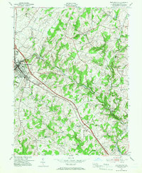
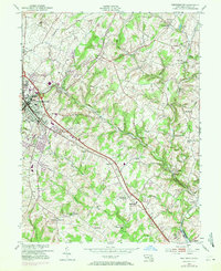
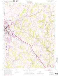
Other maps of this area

1892 · Ellicott
USGS Topo · 1:62,500

1893 · Frederick
USGS Topo · 1:125,000

1894 · Ellicott
USGS Topo · 1:62,500

1894 · Frederick
USGS Topo · 1:125,000

1905 · Westminster
USGS Topo · 1:62,500

1906 · Ellicott
USGS Topo · 1:62,500

1908 · Patapsco
USGS Topo · 1:125,000

1909 · Mount Airy
USGS Topo · 1:62,500

1911 · Taneytown
USGS Topo · 1:62,500

1942 · Gettysburg
USGS Topo · 1:125,000