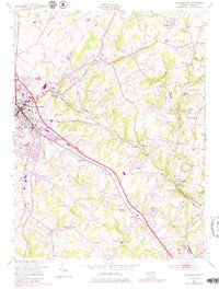
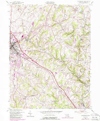
1953 Map of Westminster
USGS Topo · Published 1979About this map
Westminster serves as the focal point of this mid-century landscape, where the Western Maryland RR and local road networks converge in the heart of Carroll County. The terrain is defined by the headwaters and branches of the Patapsco River, including the North Branch Patapsco River and Beaver Run. Historical industry and rural infrastructure are evident through locations like Walnut Grove Mills, Hoffmans Mill, and the Filtration Plant near Cranberry Station.
Find a feature on this map
59 named features on this map. Tap any name to fly to it.
Don’t see what you’re looking for? This feature index may not catch every label — zoom into the map to look around manually.
Map Details
Editions of this 1953 Westminster Map
5 editions found
Other maps of this area

1892 · Ellicott
USGS Topo · 1:62,500

1893 · Frederick
USGS Topo · 1:125,000

1894 · Ellicott
USGS Topo · 1:62,500

1894 · Frederick
USGS Topo · 1:125,000

1905 · Westminster
USGS Topo · 1:62,500

1906 · Ellicott
USGS Topo · 1:62,500

1908 · Patapsco
USGS Topo · 1:125,000

1909 · Mount Airy
USGS Topo · 1:62,500

1911 · Taneytown
USGS Topo · 1:62,500

1942 · Gettysburg
USGS Topo · 1:125,000