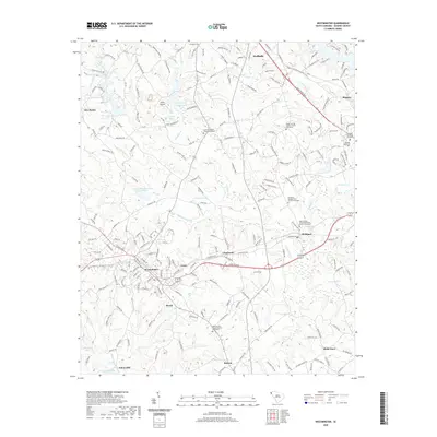
2020 Map of Westminster
USGS Topo · Published 2020About this map
Westminster and Walhalla anchor this corner of Oconee County, defined by the winding course of Coneross Cr and its many tributaries like White Fork and Negro Fork. The landscape is a mix of small rural communities such as Clearmont, Richland, and Retreat, each marked by enduring social centers. Genealogists will find significant value in the numerous well-documented burial sites, including the Richland Presbyterian Church Graveyard and Poplar Springs Baptist Church Graveyard. The topography is shaped by a series of water management features like the Coneross Watershed 9-A Reservoir and Marritt Pond. Unique local landmarks such as Anna's Airport and the Oconee Memorial Park indicate the area's development from a strictly agricultural district into a more diverse residential and service-oriented corridor.
Find a feature on this map
211 named features on this map. Tap any name to fly to it.
Don’t see what you’re looking for? This feature index may not catch every label — zoom into the map to look around manually.
Map Details
Editions of this 2020 Westminster Map
This is the sole edition of this map. No revisions or reprints were ever made.
Other maps of this area

1886 · Walhalla
USGS Topo · 1:125,000

1888 · Pickens
USGS Topo · 1:125,000

1892 · Walhalla
USGS Topo · 1:125,000

1894 · Pickens
USGS Topo · 1:125,000

1896 · Walhalla
USGS Topo · 1:125,000

1954 · Greenville
USGS Topo · 1:250,000

1958 · Greenville
USGS Topo · 1:250,000

1958 · Seneca
USGS Topo · 1:24,000

1958 · Fair Play
USGS Topo · 1:24,000
1959 · Walhalla
USGS Topo · 1:24,000