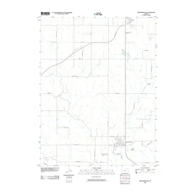
2009 Map of Westmoreland
USGS Topo · Published 2009About this map
Westmoreland serves as the focal point of this northeastern Kansas landscape, where the local road network and small-town grid meet the winding course of Rock Creek. The map documents a predominantly agrarian region punctuated by numerous historic burial grounds, including the Old Westmoreland Cemetery and Saint Columkilles Cemetery further north near Blaine. These sites, along with smaller family-named plots like Huff Cemetery and Sales Cemetery, provide essential spatial data for genealogists tracing early residents of Pottawatomie County.
Find a feature on this map
47 named features on this map. Tap any name to fly to it.
Don’t see what you’re looking for? This feature index may not catch every label — zoom into the map to look around manually.
Map Details
Editions of this 2009 Westmoreland Map
This is the sole edition of this map. No revisions or reprints were ever made.
Other maps of this area

1886 · Junction City
USGS Topo · 1:125,000

1889 · Seneca
USGS Topo · 1:125,000

1889 · Wamego
USGS Topo · 1:125,000

1889 · Marysville
USGS Topo · 1:125,000

1889 · Junction City
USGS Topo · 1:125,000

1894 · Junction City
USGS Topo · 1:125,000

1894 · Seneca
USGS Topo · 1:125,000

1894 · Marysville
USGS Topo · 1:125,000

1894 · Wamego
USGS Topo · 1:125,000

1955 · Manhattan
USGS Topo · 1:250,000